The Hamptons Guide
Southampton
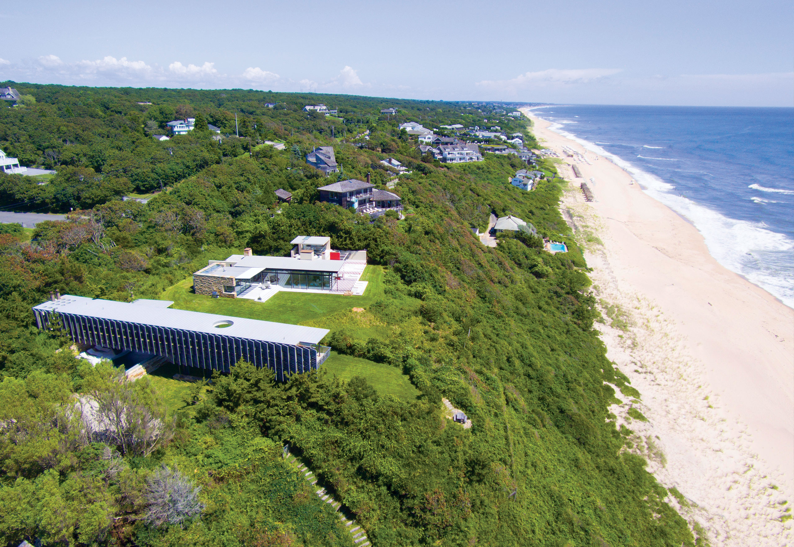
Somewhere during its centuries-long timeline, Southampton became the cream of the crop for summer resort living and has remained there — risen to the top. Oceanfront property achieves its apex, boasting a fleet of the most eye-popping estates this side — or the other one, for that matter — of Shinnecock Bay. You’ll find the more “modest” abodes further inland, but even those have the potential to wow with their oft-stunning ways. Living by the Atlantic is one thing, but Southampton also boasts world-class relaxing by the Atlantic. Coopers Beach swims above the rest when it comes to particular idyllic white sandy spots. It has achieved national renown, often recognized as one of the best beaches in the country. Heavenly homes and beautiful beaches are not to mention several historical sites and a bustling commercial district. We’re not saying Southampton has all you could want out of the Hamptons, but…

Watermill
To look across every leafy lane and green acre in Water Mill is to be awash in a stream of splendor. Real estate in this hamlet is highly sought-after, composing a dazzling collection of modern, post-modern, and traditional-style homes. Suppose A-plus houses weren’t enough to sway you on Water Mill. In that case, the area also lays claim to a lively local art scene, multiple miles of beautiful beachfront, and numerous celebrity residents. This combination has sent the otherwise humble hamlet’s profile skyrocketing to the point where Water Mill is mentioned in the same breath as immediate neighbors Bridgehampton and Southampton Village. Water Mill boasts two sets of darling waterfronts on its southern shore. Head to Mecox Bay for a tranquil environment like no other or venture a little further down Flying Point Road and dip your toes right into the Atlantic Ocean.
Bridgehampton
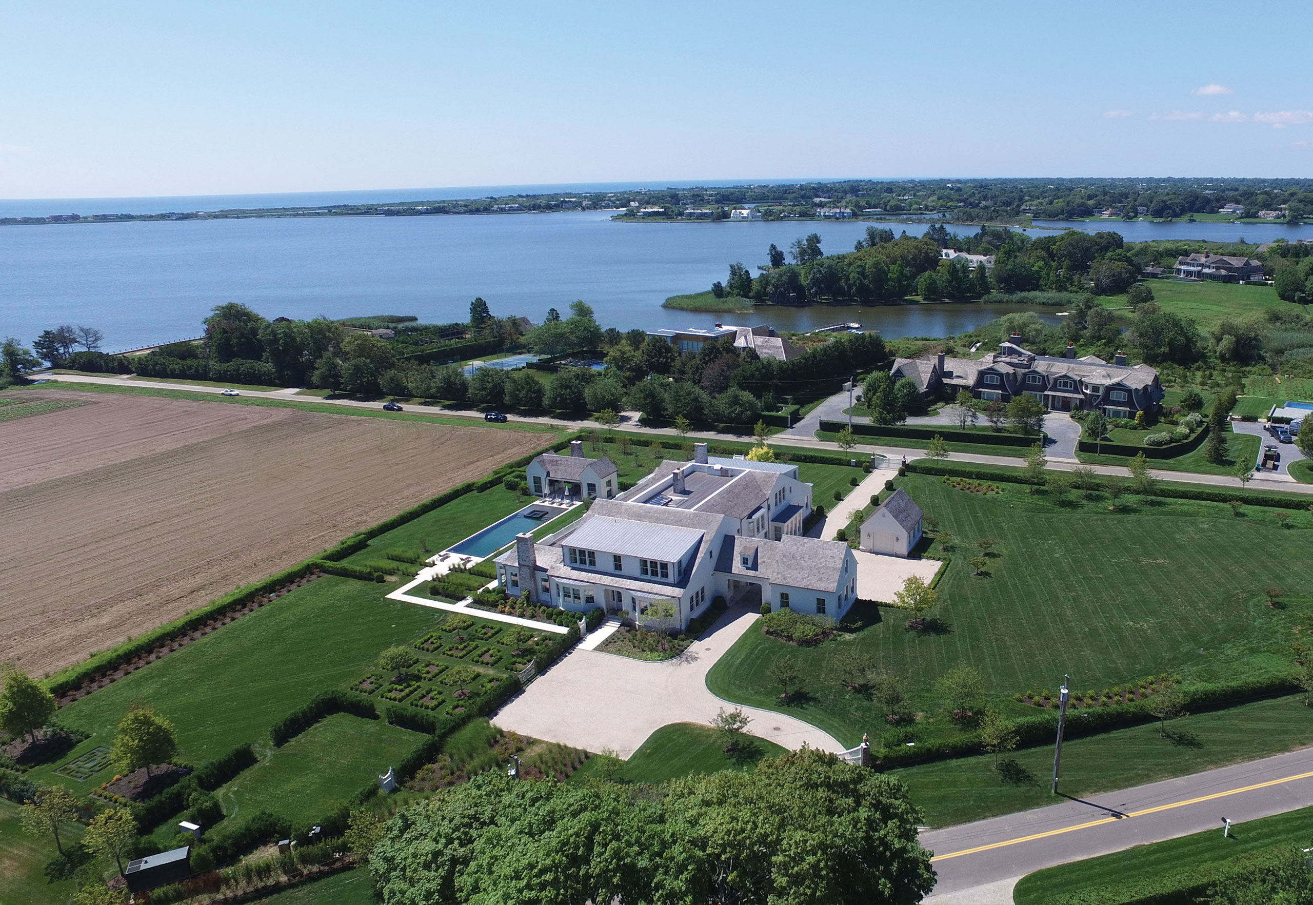
While the anthropological and linguistic origins behind how places get their names can sometimes be tricky to unravel, the source of Bridgehampton’s name is pretty straightforward. It’s a place where, one time, they built a bridge in the Hamptons. After settlers began to move east through the town of Southampton, the bridge in Bridgehampton — the Sagg Bridge — was built in 1686 over the Sagg Pond, linking Bridgehampton to Sagaponack. But while that bridge was undoubtedly welcome in its time, the Long Island Rail Road’s arrival in 1870 is what really connected Bridgehampton to the rest of civilization. Today, Bridgehampton undeniably captures the essence of the East End. Along lovingly landscaped lanes and roads, traditional shingle-style homes rest at the top of cobblestone driveways. Meanwhile, life down by the water reveals the sorts of ostentatious modern estates that help make the Hamptons “the Hamptons.”
Sagaponack
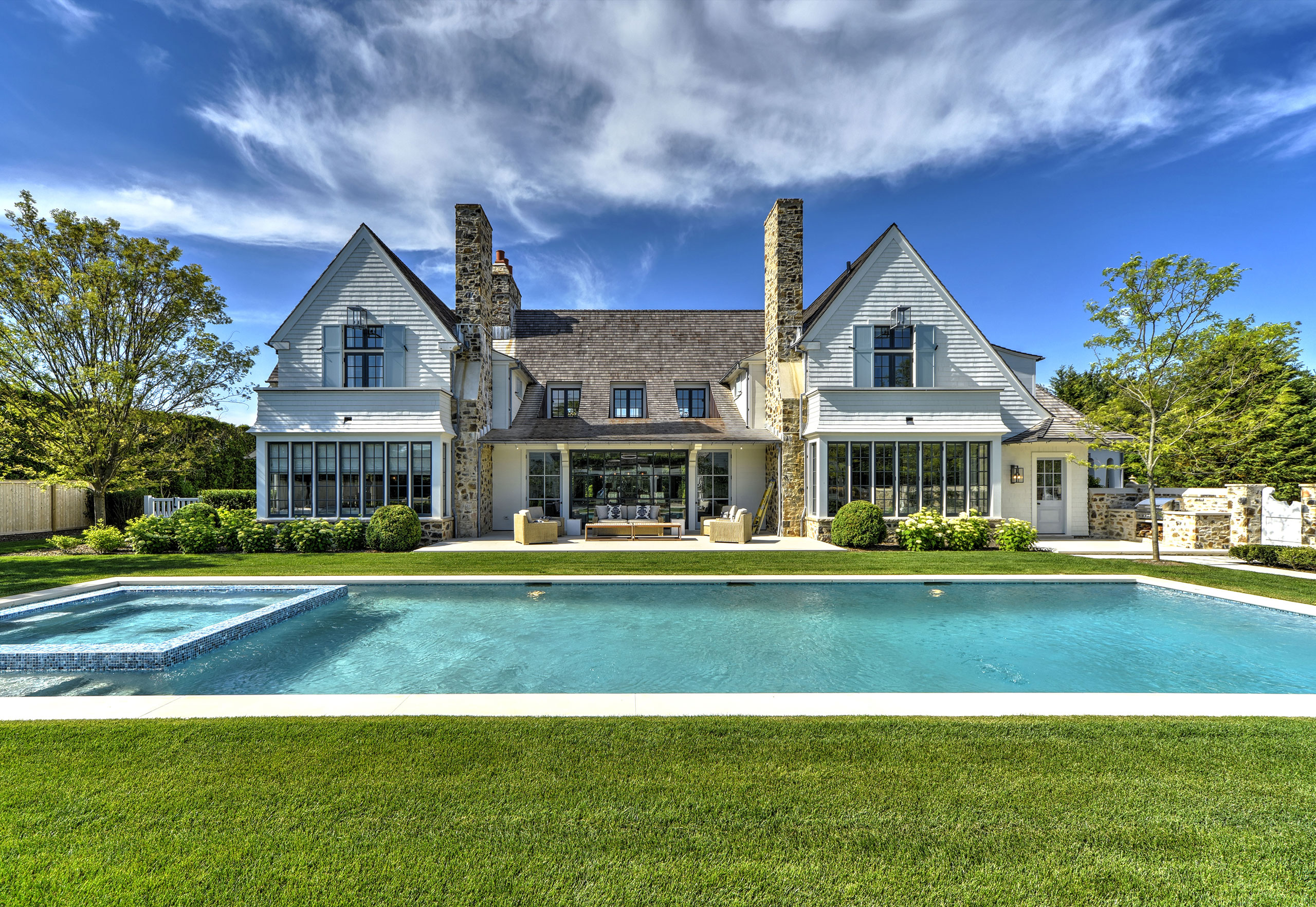
Small dimensions meet extra-large desire in extravagantly rustic Sagaponack. Despite covering less than five square miles, the village is one of the region’s most enticing, a fact reflected in a laundry list of notable neighbors past and present — writers, business magnates, musicians — that would assemble quite the dinner party roster. Potato fields used to abound across the landscape. These days, the rich soil instead gives rise to the most ornate of estates. In particular, mansions defying the imagination line Daniels Lane, overlooking the serene, impeccable oceanfronts at Sagg Main Beach and Gibson Beach. Farmhouses and more traditional-style — though undoubtedly no less impressive — Hamptons homes are tucked back from the tree-lined streets on the likes of Hedges Lane and Parsonage Lane. Even though it only occupies a relatively tiny piece of the Hamptons, Sagaponack’s outsized status exemplifies why the East End is unlike anyplace else.
Sag Harbor
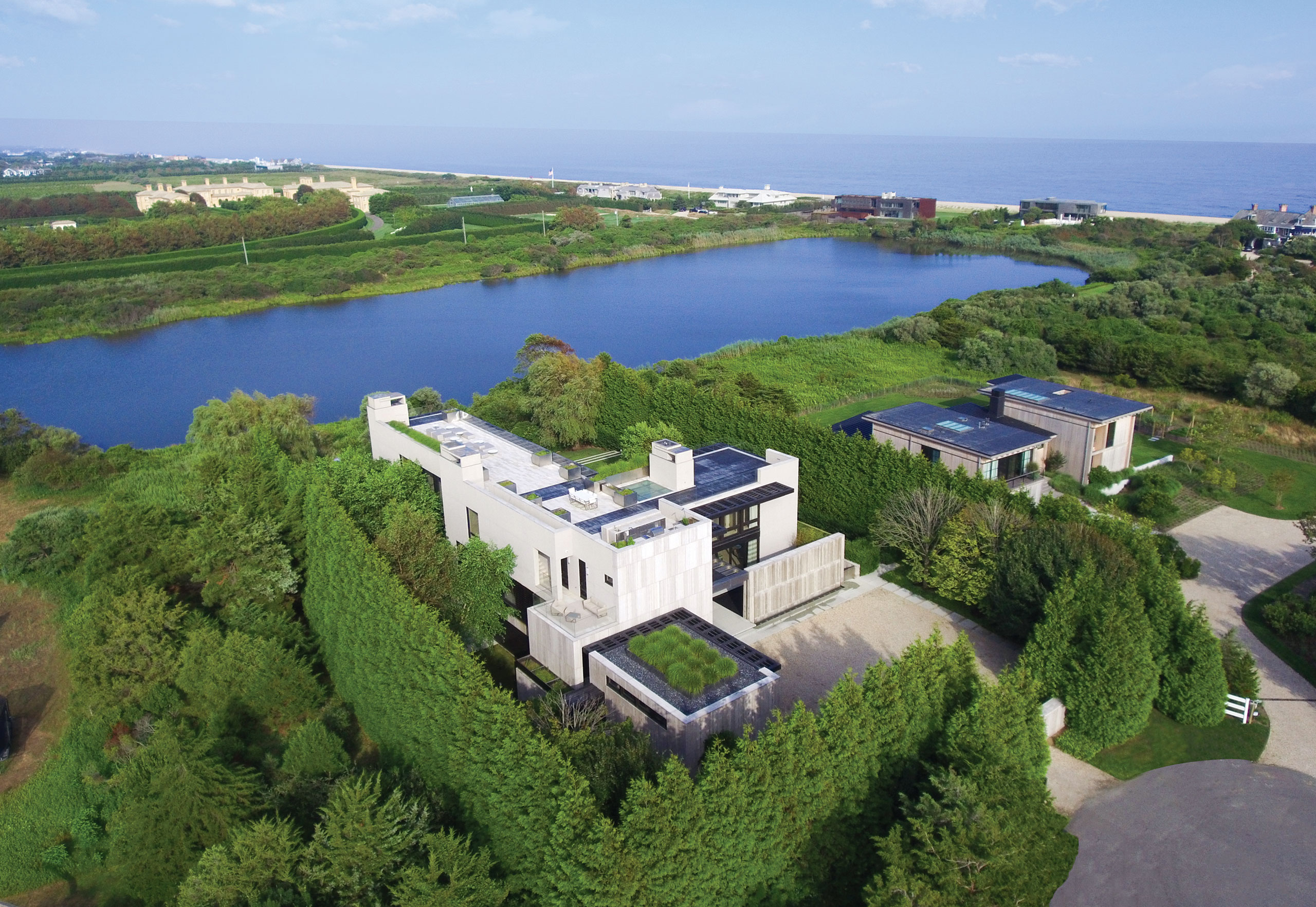
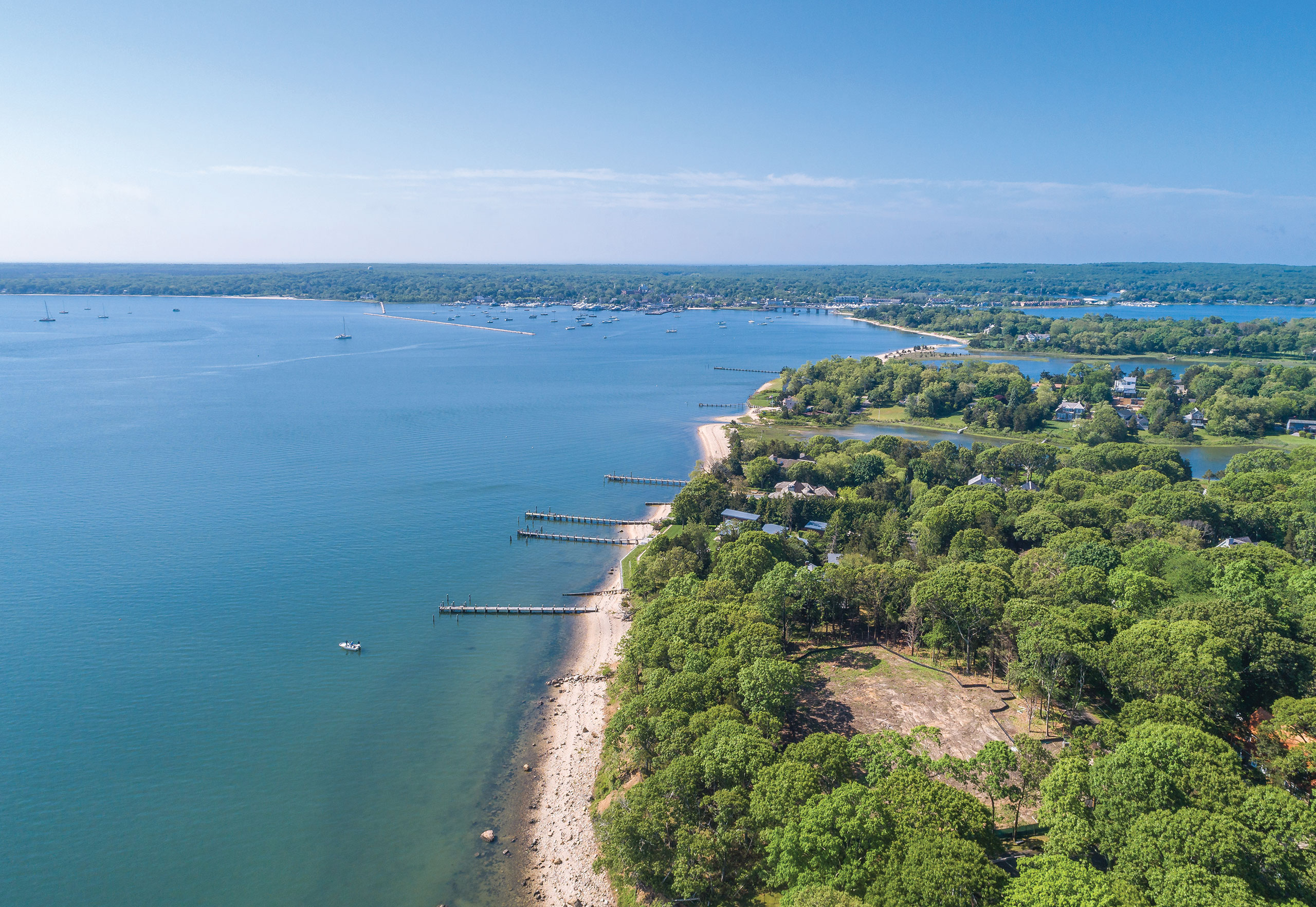
Sag Harbor is a community between worlds, existing simultaneously under the dominions of Southampton and East Hampton. However, Sag Harbor is not the sum of its towns, nor is there a distinct split over the Division Street dividing line. Instead, Sag Harbor is something all its own. A perfect place for the creative class centuries before the term existed, Sag Harbor has enjoyed a bustling commercial and artistic atmosphere since its founding. Stepping foot in the village, there is instant visual appeal. Greek Revival and Victorian-style homes, former sea captain houses and whaling cottages, a stuck-in-time, historic downtown: it all amounts to a place with the charms of coastal New England and a welcoming, year-round lifestyle. Take that, combine it with an irregular coastline that allows many properties to boast waterside views, and you’ve got yourself one of the most desirable addresses in the Hamptons.
Wainscott
No place else captures the bucolic yet bombastic duality of the Hamptons quite like Wainscott. This hamlet in the Town of East Hampton is where farm-centric past merges with trendy present, which might explain why the styles of homes here range from humble farmhouse retreats to some of the boldest design on the East End. To Wainscott’s south and east, the Atlantic Ocean and prestigious Georgica Pond neighbor coveted waterfront real estate; the latter is where you’ll spot some of the most eye-catching estates in the area. Beaches along the ocean are beautiful, if unimaginatively named — Wainscott Beach, most obviously, and Town Line Beach, which falls on the border of East Hampton and Southampton, being the largest. Further north, the setting feels vastly more unclaimed. The residences in this rural and woodland environment almost seem to hide among the trees, though sand and surf is never far.
East Hampton
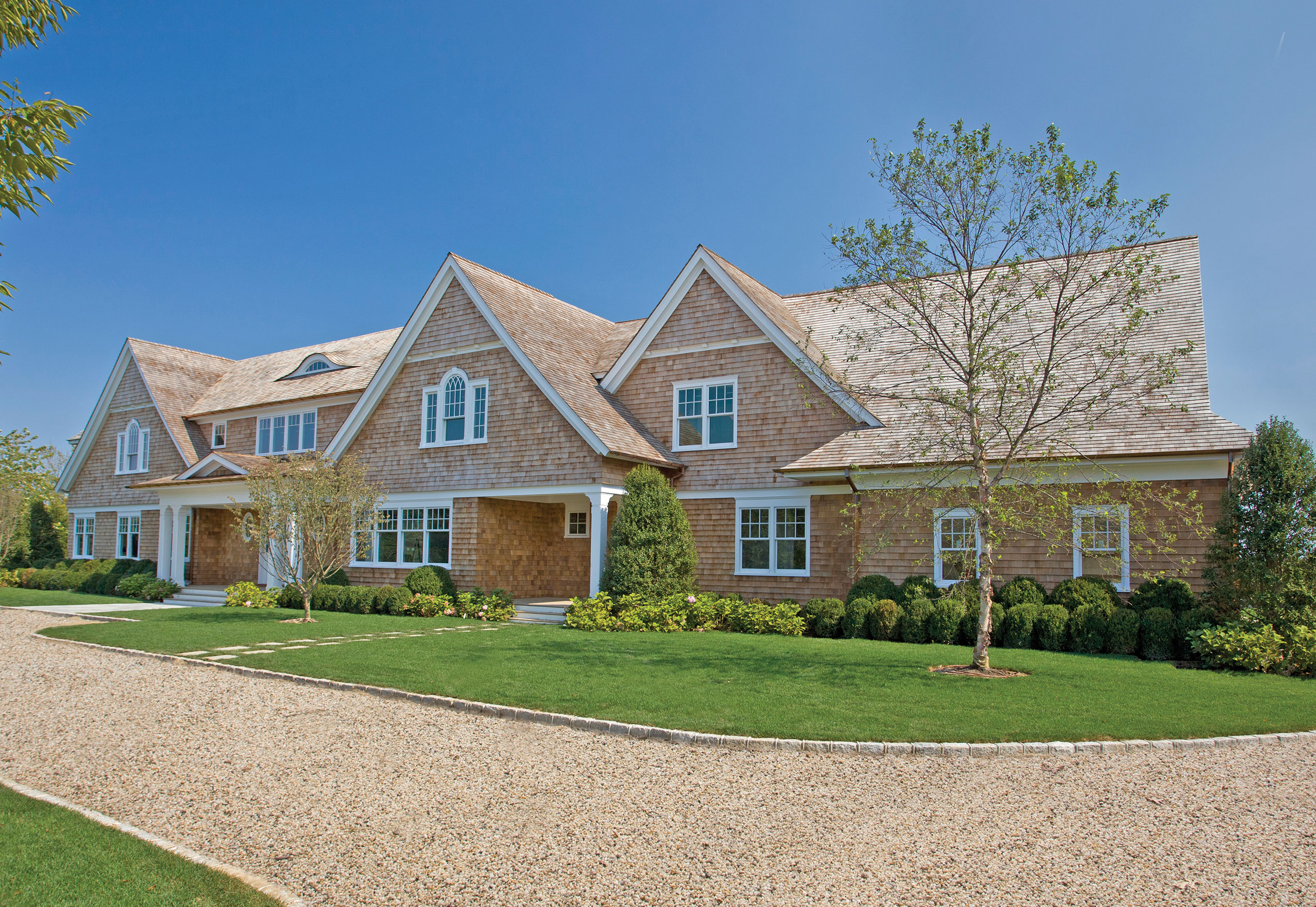
In the long, enduring tradition of slightly confusing Long Island naming conventions, East Hampton is located in a town also called East Hampton. With the waters of the Atlantic splashing onto its shores, the village of East Hampton carries a reputation that puts it close to, if not at the very pinnacle of all Hamptons locales. Why are people so drawn to this place? Because it’s utterly stunning, a state of being only strengthened by undeniably beautiful white sand beaches. Near the western border, Georgica Pond doubles down on East Hampton prestige. This community has counted film directors, business magnates, and presidents among its high-society residents. East Hampton’s name carries such a weight that even something as trivial-seeming as a windmill is recognized as historic. However, to be fair to Hook Windmill, it was built in 1806 and presently stands preserved and bedecked in its Hamptons-chic shingle style.
Amagansett
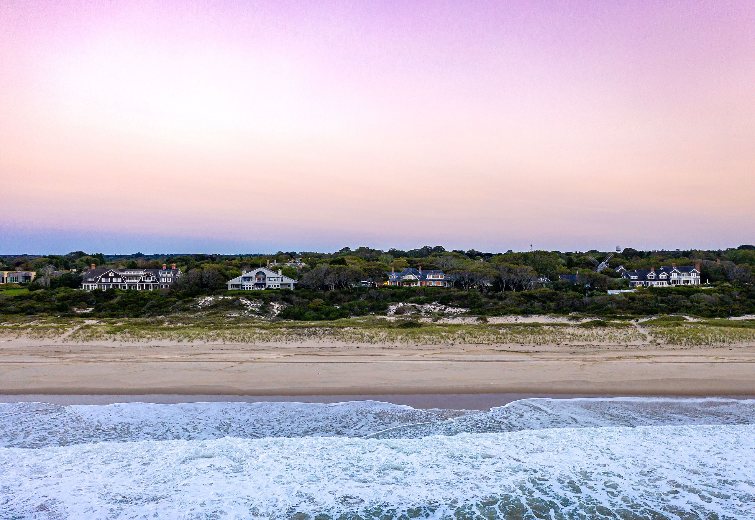
Perhaps no other Long Island municipality wears its mystique better than the 6.6 square miles that make up Amagansett. An address in Amagansett is much-coveted, as the area straddles a line between rustic hamlet and Hamptons hotspot with stunning aplomb. The Atlantic splashes onto the southern shore as the Napeague Bay calmly dips into the northeast coast. Meanwhile, the beachfront is populated with jaw-dropping residences — including on renowned Further Lane — with the hamlet’s interior home to timeless shingled homes on quiet tree-lined streets. It’s no wonder that countless have gotten swept up in Amagansett’s majesty. Marilyn Monroe and Arthur Miller famously summered in a converted windmill home on Deep Lane in 1957, and plenty more celebrities since have also felt the draw of this singular environment out east.
Shelter Island
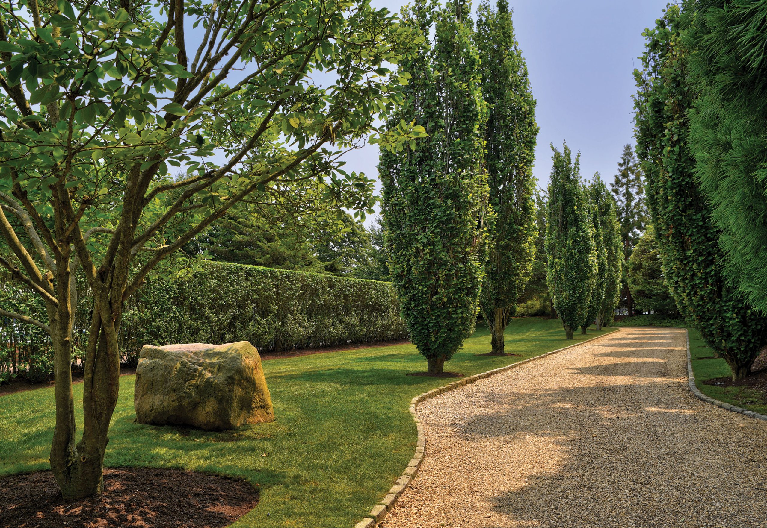
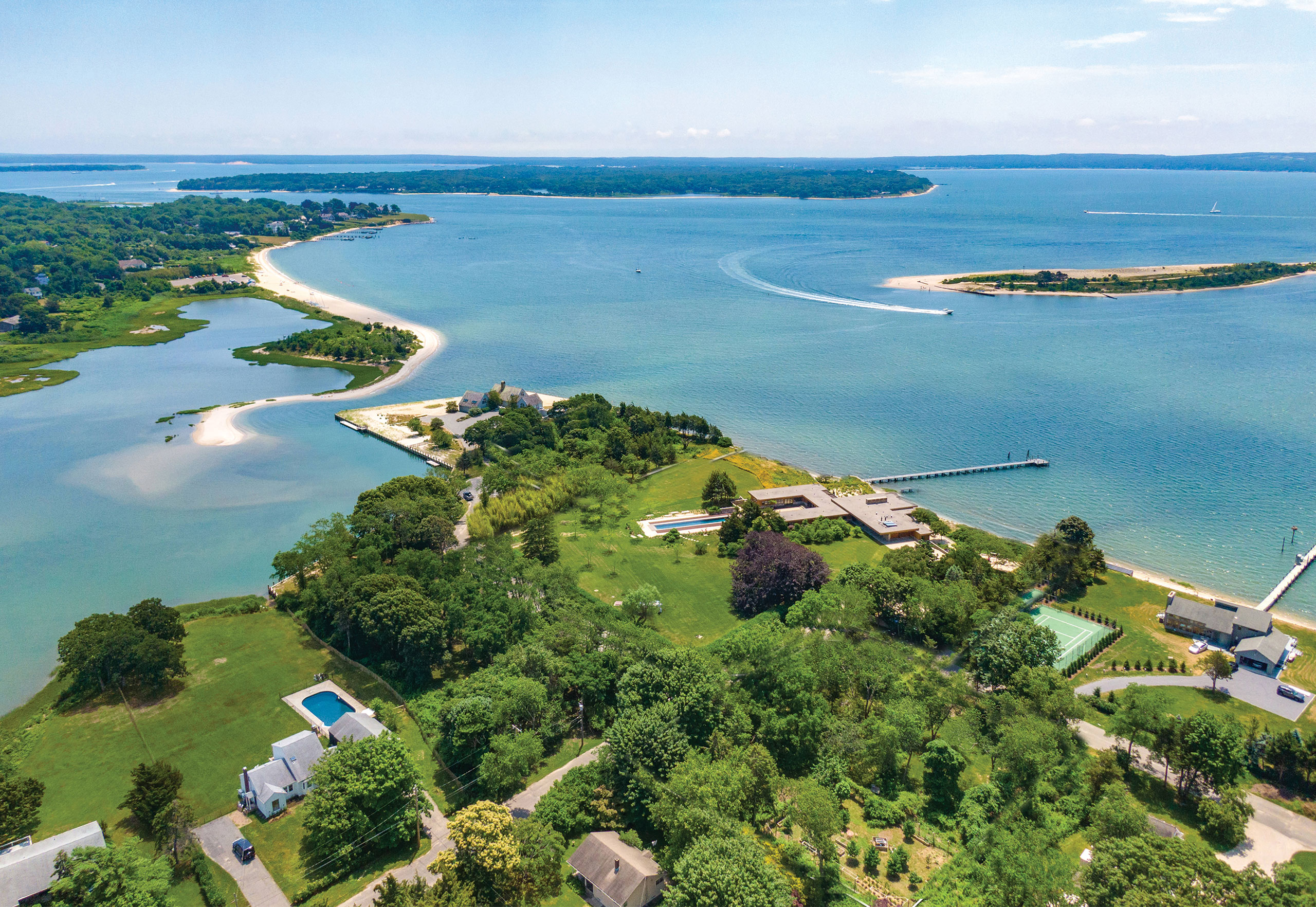
Though there are roads on Shelter Island, you cannot drive to it. Instead, access is only made possible via ferry, either from Greenport in the north or North Haven in the south. That restriction makes Shelter Island an enchanting locale, floating idyllically between and blending the lifestyles of the twin forks of Long Island. Mashomack Preserve takes up an entire third of Shelter Island — thousands of acres of protected nature highlighted by flourishing plant and animal life. However, it’s not all ducks and turtles here; in the land that remains, human life flourishes as well. Demand in Shelter Island is exceptionally high, something homes in the area rise to match. Charming and glorious, these timeless residences vary in style and size — from waterfront estates to hillside Victorians to rustic farmhouses. Island life also means abundant water, something Shelter Island takes advantage of at its serene beaches and bustling marinas.
Montauk
If you want to spend time on the East End, it doesn’t get much more east or end than this. When you look at a map of the oddly-shaped New York landmass, Montauk is that eastern-most terminus, hugging the Atlantic at the tip of Long Island. As such, Montauk can often feel like the end of the earth. With six state parks in only approximately 170 square miles, though, it’s a place of enviable beauty. Praised for having some of the best beaches in the Hamptons, the hamlet has been home to such famous residents as Andy Warhol, Rufus Wainwright, and Edward Albee. It’s a fashionable place to be, but with a vibe more casual and closer to nature than its westerly neighbors. In pure scenic appeal terms, Montauk’s dunes and sunsets give it the most significant wow factor of all the towns of East Hampton.
